
Flood Zones on the Pasquotank: What the Map Misses

In this post
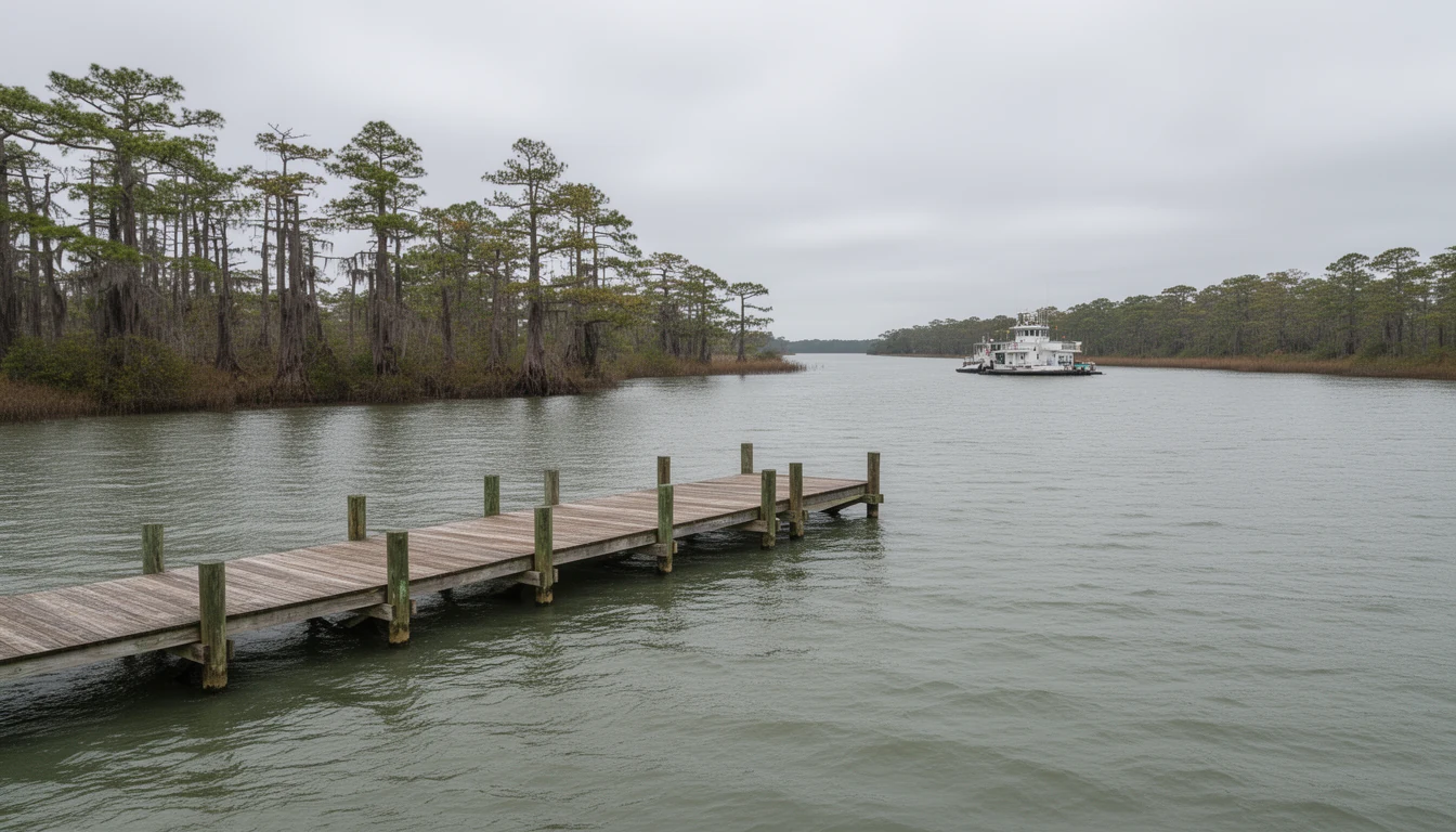
The water came up over the curb on Riverside Avenue before the rain got serious. Wind out of the northeast, pushing the Pasquotank upstream, and Charles Creek had nowhere to put what it was carrying. At the bridge where Riverside crosses Shepard Street, the creek was level with the road and still climbing. Wet cypress and diesel, that was the smell. By evening it was gone, and the street looked like nothing had happened.
That is the thing about flooding in Elizabeth City. It arrives sideways, from the river, on a tide and a wind direction. It does not need a named storm and it does not need a warning. Last October’s nor’easter did not make the news anywhere but here.
So when a buyer asks me about flood zones, I answer the question they did not ask.
What changed in December 2018
The maps you will see on a listing sheet are not the same maps this town used a decade ago. Pasquotank County’s current flood maps became effective in December 2018, and the county’s own summary describes a significant decrease in the number of properties mapped into Special Flood Hazard Areas. Plenty of houses that carried an AE designation in 2017 sit in an X zone today.
That remapping was good news for a lot of owners, and it is the source of the single most common misunderstanding I run into. A property leaving the high-risk zone changes the insurance requirement. It does not change the elevation of the lot or the way Charles Creek backs up when the wind holds.
The county says it plainly on its own flood page: more than 20 percent of all claims paid through the National Flood Insurance Program are on properties outside those special hazard areas. One in five. You can pull any address at fris.nc.gov or msc.fema.gov and read the panel yourself, and you should. Just don’t stop reading when you see the letter X.
Charles Creek is the honest test case
If you want to understand how water actually behaves here, don’t start with a riverfront listing. Start with Charles Creek.
It drains the low ground between the hospital ridge and the Pasquotank, runs under Riverside Avenue at Shepard Street, and empties into the river a few hundred feet downstream. The city paid for a real engineering study of it. Moffatt & Nichol, working under a state coastal management grant, delivered the Charles Creek Flood Mitigation Plan in March 2018. It is public, it is 60-some pages, and it is the most useful document in this town for anyone buying low ground.
The modeling found 55 structures flooded in a 10-year storm and 140 in a 50-year storm. Not a hurricane. A 10-year rain event, the kind that shows up twice in a mortgage.
The tide numbers matter more. The gage at Mariners Wharf Park recorded water six inches or more above sea level 17 percent of the time between 2013 and 2017, and the 10-year flood elevation was exceeded six times in those five years. In that same record, the water never got above 2.1 feet above sea level. That sounds reassuring until you stand on Riverside Avenue and notice the road is barely two feet above the river on a calm day.
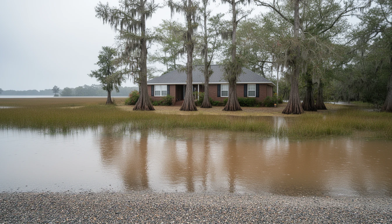
For scale, Hurricane Isabel pushed about 5 feet of surge up the Pasquotank in September 2003, with a 97 mph gust recorded in town. That is the number the creek plan is quietly written around, even though 2003 sits outside its five-year record.
Why no gate got built
Wild idea, the kind people propose every time the creek floods: put a gate and pumps at the mouth and shut the river out.
The engineers modeled it. Then they modeled the alternatives. Elevating the flood-prone buildings scored a benefit-cost ratio of 8.0. Protective berms with road raises came in around $2.2 million at a ratio of 2.9. The gate and pump system scored 1.1, the worst of the set, and the plan did not recommend it for further study.
The reasoning is not only money. Charles Creek is a designated spawning area for blueback herring and alewife, with a moratorium from February 15 through June 15. State and federal agencies told the city a gate would be operated during exactly the nor’easters that blow through in that window, and a closed gate stops fish. Wetlands landward of the berms raised the same kind of question. Every agency at the April 2018 scoping meeting preferred elevation and relocation.
So the honest answer for a buyer is that no infrastructure project is coming to rescue low ground on this creek. The city studied it carefully and concluded the cheap fix does not work. That leaves the house and how high the floor sits.
How to read a panel in fifteen minutes
Pull the address at msc.fema.gov. You want the effective FIRM panel and the date on it.
Zone AE means the 1 percent annual chance floodplain, with base flood elevations published. Zone A means the same risk with no elevation published, which is worse for you because nobody can tell you how deep. Zone X is outside the high-risk area, split between the 500-year shaded band and the rest.
The base flood elevation is the number that sets your insurance. If the panel says 8 feet and the first floor sits at 8.4, that four-tenths of a foot is the difference between a policy you can carry and one that makes the deal impossible. Ask the seller for the elevation certificate. If there isn’t one, an elevation certificate from a local surveyor is the cheapest due diligence money you will spend on a river property, and it often pays for itself in the first year’s premium.
Federal law requires flood insurance on a structure inside a special hazard area when the loan comes from a federally regulated or insured lender. Cash buyers skip the requirement and keep the risk. That is a choice you can make with your eyes open, but make it before the offer.
Then check whether the panel is the last word. If the lowest adjacent grade really is above the base flood elevation, a Letter of Map Amendment can take the structure out of the zone on the map. It takes a survey and a FEMA application. It is not fast. It is occasionally worth thousands a year.
What I actually check in due diligence
I want to know what the water did, not what the polygon says. Sellers in North Carolina disclose flood damage and insurance claims they know about under the Residential Property Disclosure Act, so read that line and ask a direct follow-up.
I look at the mechanicals. An HVAC unit and a water heater sitting on the slab in a creek-side crawlspace are a repair bill waiting on a nor’easter. I look at the rim joist and the bottom plate for staining, and I look at the drywall a foot up from the floor for the seam that means someone cut out flood-damaged material. I ask which flood policy the current owner carries and what it costs, because that quote transfers as an expectation even when the policy does not.
And I walk the block, not the house. Where does the water go when the storm drain backs up? Which driveway is the low one? Charles Creek Park at 719 Riverside Avenue floods for a reason that has nothing to do with the house you are considering three streets over, and everything to do with the ground between them.
At the Shepard Street bridge the water goes down, the street dries, and the creek goes back to being a creek. The house two blocks up is in Zone X. That is true and it is also not the whole question. Ask what the water did in 2003, and ask what it did last October.
Keep reading

Elizabeth City New Builds: Permits and What to Verify
Building in Elizabeth City or Pasquotank County? Permits come from the city or the county, depending on the lot. What to verify on a new build.
Backing Out in Elizabeth City: Contract Risks
A 2022 NC Supreme Court ruling confirmed buyers who breach a purchase contract can owe attorney's fees. What that means for Elizabeth City buyers.

PCSing to Elizabeth City? 8 Things to Do First
PCSing to Coast Guard Base Elizabeth City? Here are eight things to tackle before you arrive, from housing and schools to the Rose Buddies welcome wagon.