

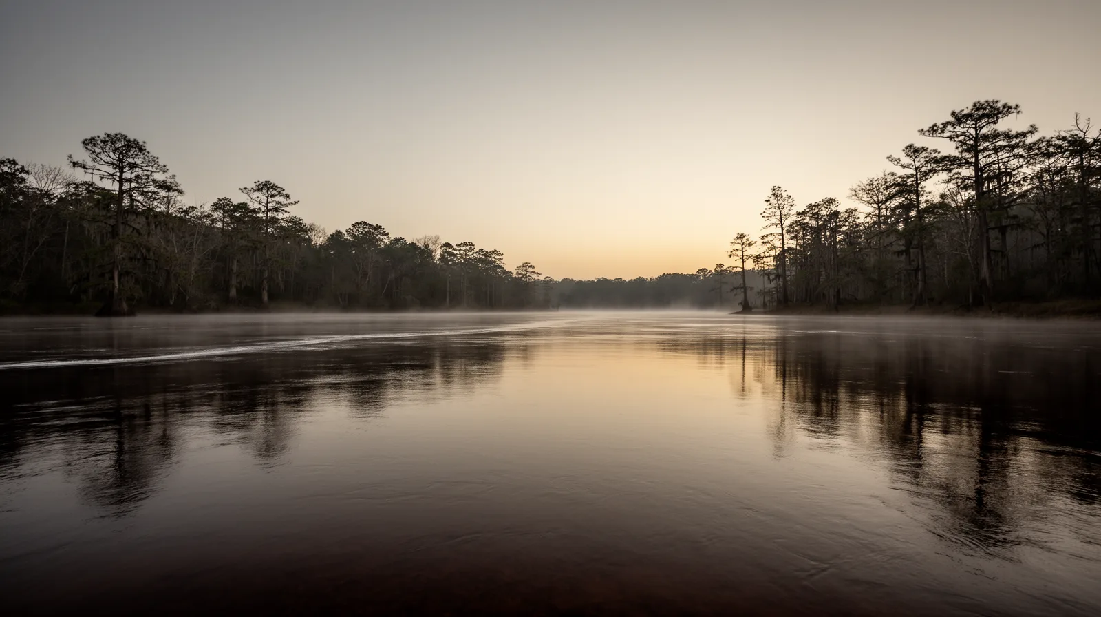
The town sits at the narrowing of the Pasquotank River, seven miles above where it empties into the Albemarle Sound. That geography — a navigable river, proximity to a major sound, and land accessible from Virginia — is why people have lived and traded here for more than three and a half centuries. The history of Elizabeth City is, in large part, the history of that location.
1668 Pasquotank County and the Albemarle Settlement
The first documented English land claim on the river dates to 1660, when Nathaniell Batts acquired a grant in what would become Pasquotank1 — four years before the Lords Proprietors even commissioned a governor for the wider Albemarle region. Pasquotank itself takes its name from the indigenous Pasquotank people who lived along the watershed before European contact; in the Algonquian language of the region, the word is generally translated as "where the current divides or forks"2 — a description of the river that is still accurate at the exact point where this town sits.
Pasquotank County is among the oldest political entities in North Carolina. The Lords Proprietors commissioned William Drummond as Albemarle's first governor in December 1664, and the region's first colonial assembly convened by June 16653 — among the earliest representative governing bodies anywhere in what is now the United States. When the colonial government organized the Albemarle region beginning in the late 1660s, it divided the territory into four precincts — Currituck, Pasquotank, Perquimans, and Chowan. Pasquotank was one of the four, though the record is not perfectly clean on the exact year: 1668 is the date most often cited for the Albemarle region's four-precinct framework generally, while NCpedia, the State Library of North Carolina's encyclopedia project, dates Pasquotank's own separate precinct status to 16814. Both figures are in the historical record; this page states 1668 for the broader framework and flags the discrepancy rather than picking one silently.
English settlers had been arriving in the Albemarle region from Virginia since the 1650s, moving south along the sounds in search of fertile, unclaimed land beyond the tobacco-exhausted Northern Neck. The Pasquotank River valley offered navigable water, cypress and pine timber, and relatively firm ground above the swamp margins. Settlement was gradual but sustained; by the 1670s, a rudimentary court system existed at the precinct level.
1793–1801 The Town Takes Shape
What became Elizabeth City was established at a ferry crossing on the Pasquotank, on land acquired from Adam and Elizabeth "Betsy" Tooley, who ran a tavern on the waterfront at the horseshoe bend in the river. The North Carolina General Assembly incorporated the town in 1793 under the name Redding. It didn't stay Redding long: the town was renamed Elizabeth Town in 1794, then Elizabeth City in 18015 — two renamings in under a decade, both landing on some form of the same name.
Nixonton, a few miles up the county, held the title of county seat first, from 1785. Elizabeth City took it over in 1799, and the county's first court there convened in June 1800 — a year before the town's own name finally settled.
Who the name actually honors is genuinely contested, and it has never been resolved with certainty. The dominant local account credits Betsy Tooley, whose land the streets and public buildings were laid out on. A competing account attributes it instead to Queen Elizabeth I of England, who authorized the earliest English efforts to colonize this coast some two centuries before the town existed. Both theories are in the record; neither has displaced the other.
Two renamings in under a decade, both landing on some form of the same name — and who it actually honors has never been resolved with certainty.
By the early nineteenth century, the town functioned as a modest but active port. Shingles, lumber, and agricultural products moved through it north toward Norfolk and the Chesapeake markets.
1805 The Dismal Swamp Canal
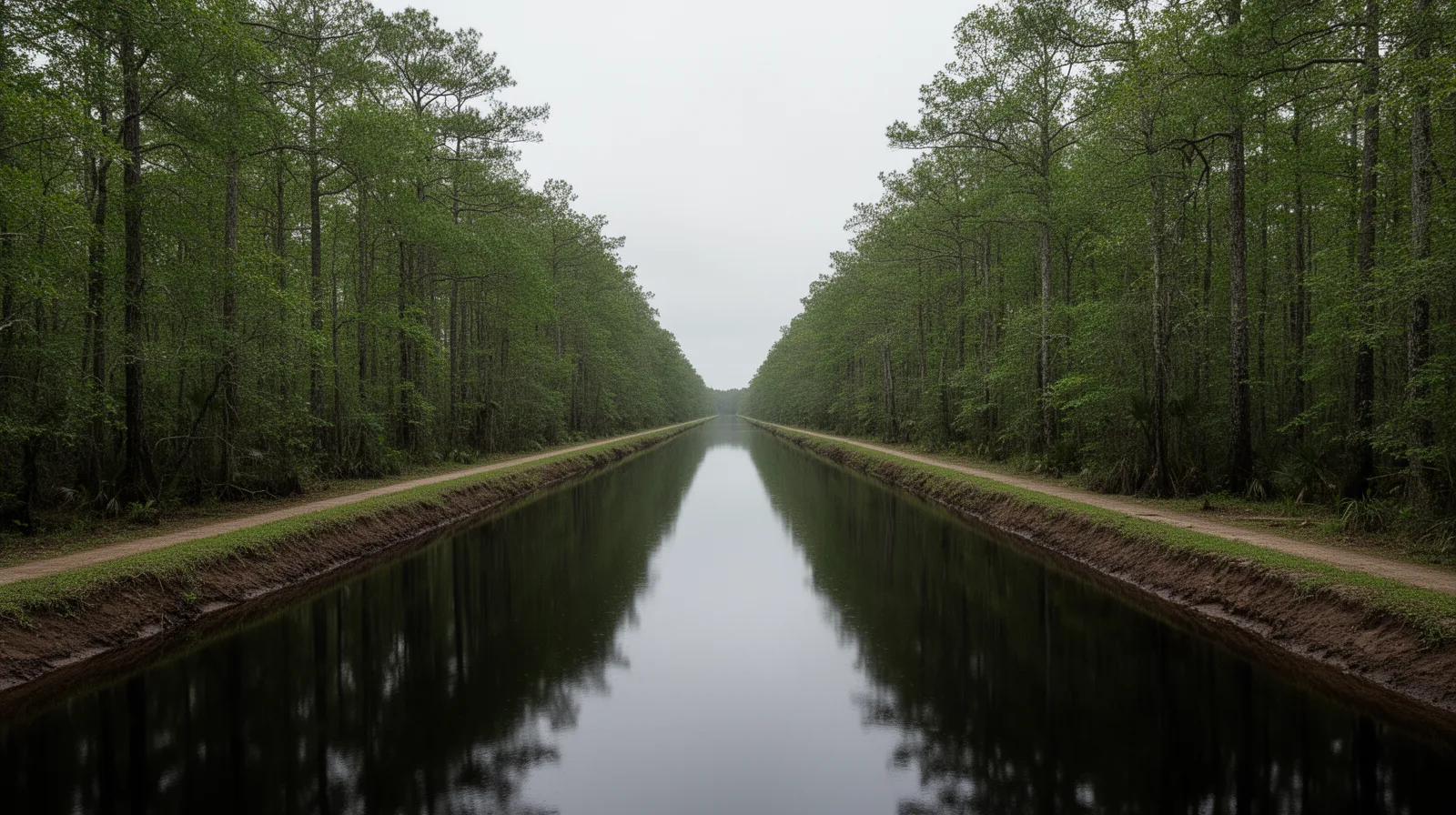
The completion of the Dismal Swamp Canal in 18056 — connecting the Pasquotank watershed to the Elizabeth River in Virginia — formalized a commercial corridor that had existed informally for decades and gave Elizabeth City a durable position as the market and distribution center for northeastern North Carolina's agricultural production.
Lumbering was the county's dominant industry for most of the nineteenth and early twentieth centuries, the canal being the reason a swamp full of cypress and pine could reach a real market at all. Agriculture diversified around it as the town grew: potatoes, corn, and wheat moved through the same port, and in 1915 Elizabeth City became the site of the first commercial soybean processing in North Carolina — a small, specific fact, but a real marker of how early this town was plugged into regional agricultural commerce.
1600s–1860s The Great Dismal Swamp
The Great Dismal Swamp, which borders Pasquotank County to the north and east, has two distinct histories running in parallel. The first is commercial: the swamp was a source of timber, shingles, and peat, and the canal through it was one of the earliest American infrastructure projects of scale, constructed largely with enslaved labor between 1793 and 1805.
The second history is harder to see in the conventional record, and it runs much longer than the canal's own story. The interior of the swamp served as a refuge for freedom-seeking enslaved people, Indigenous Americans displaced by colonial expansion, and, in some periods, indentured laborers — communities historians now identify as maroon settlements, documented from as early as the Jamestown era in 1607 through the Civil War. The swamp's density, its inaccessibility, and the practical impossibility of organizing systematic pursuit within it made it ungovernable from the surrounding plantation economy. The fullest account is Daniel O. Sayers' archaeological monograph A Desolate Place for a Defiant People: The Archaeology of Maroons, Indigenous Americans, and Enslaved Laborers in the Great Dismal Swamp (University Press of Florida, 2014), drawn from his own decade-plus Great Dismal Swamp Landscape Study excavations7, and the Dismal Swamp is now understood as one of the more significant sites of organized resistance to slavery in the American South.
The swamp's density made it ungovernable from the surrounding plantation economy — now understood as one of the more significant sites of organized resistance to slavery in the American South.

1862 The Civil War
The war came to Pasquotank County early. On February 10, 1862 — less than a year into the conflict — a Union naval squadron engaged a Confederate gunboat flotilla on the Pasquotank River in what is recorded as the Battle of Elizabeth City8. Union forces defeated the Confederate vessels decisively, and Federal troops occupied the town within hours. Elizabeth City remained under Union control for the duration of the war, making it one of the earliest towns in the Confederacy to come under Federal occupation and one of the few in North Carolina that experienced the war primarily as an occupation rather than a combat zone.
1891 Elizabeth City State University
The most consequential event in the county's post-war history may be the 1891 founding of the Elizabeth City State Normal School9. Established by the North Carolina General Assembly specifically to educate Black teachers for the state's segregated school system, the institution grew over the following century into Elizabeth City State University — now a constituent institution of the University of North Carolina System. ECSU has educated generations of teachers, public servants, and professionals from northeastern North Carolina and the broader region. Its presence is woven into the civic fabric of the county in ways that extend well beyond its campus on Parkview Drive.
1940s The Twentieth Century and Coast Guard Presence
The Coast Guard commissioned its air station at Elizabeth City on August 15, 1940 — more than a year before the United States entered World War II, in the run-up rather than the war itself. It has been the county's largest single employer and a consistent economic anchor ever since. At roughly 800 acres and around 2,000 military and civilian personnel, it is the Coast Guard's largest and busiest air station in the country, flying search-and-rescue missions that reach as far as Greenland, the Azores, and the Caribbean10. The base also houses the Coast Guard's Aviation Technical Training Center, its Aviation Logistics Center, and the National Strike Force Coordination Center — three separate institutional missions stacked on one installation, not just a runway. The rotation cycle that brings Coast Guard families to the county on a predictable schedule shapes the local housing market in identifiable ways.
Present The City Today
Elizabeth City's population has held relatively stable for several decades — approximately 18,000 within city limits, with Pasquotank County at roughly 38,000. It is the largest city in the seven-county Albemarle region and serves as the area's commercial and medical hub. The downtown core along Water Street retains significant nineteenth and early twentieth century commercial architecture. Four residential districts — the Elizabeth City Historic District downtown core, Northside, Riverside, and Shepard Street–South Road Street — are listed on the National Register of Historic Places, alongside two more listed districts, the Elizabeth City State Teachers College campus and an early-twentieth-century industrial district, that are institutional and commercial rather than residential neighborhoods11. The waterfront, the working downtown, and the historic residential districts are not nostalgic artifacts — they are the functional fabric of a small city that has not been altered beyond recognition by development pressure, and that remains, in most of its material particulars, recognizably itself.
Primary Sources & Further Reading
On Water Street in Elizabeth City. The primary regional repository for artifacts, documents, and interpretive exhibits on the Albemarle Sound area, part of the North Carolina Museum of History system.
Pasquotank-Camden Regional Library
The North Carolina Room holds newspaper archives, deed records, and family history materials covering Pasquotank, Camden, and surrounding counties — not available through general research databases.
NC State Historic Preservation Office
National Register of Historic Places documentation for Pasquotank County's six listed historic districts.
The State Library of North Carolina's encyclopedia project. Source for the county's precinct-formation date, the Redding–Elizabeth–Elizabeth City naming sequence, and early economic history.
Sources consulted for this page's 2026-08 revision include NCpedia (the State Library of North Carolina's peer-reviewed encyclopedia project), the National Register of Historic Places listings for Pasquotank County (Wikipedia's maintained index, cross-checked against NC SHPO's own published listings), Daniel O. Sayers' academic monograph A Desolate Place for a Defiant People (University Press of Florida, 2014), and the U.S. Coast Guard's own published facts about Air Station Elizabeth City. Numbered citations for specific claims appear below. Where sources genuinely disagree — as with Pasquotank precinct's exact founding year — this page says so rather than picking one silently. Dates and institutional details verified against these sources; nothing here is estimated or invented.
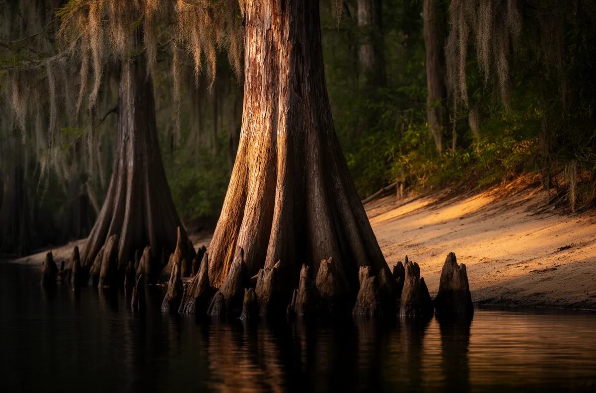
Landscape images on this page are AI-generated illustrative representations of the river, swamp, and canal described in the text — not archival or documentary photographs.
- Nathaniell Batts's 1660 land claim on the Pasquotank predates the Lords Proprietors' 1663 charter for Carolina and is documented in NCpedia's entry on early Albemarle settlement. NCpedia, "Nathaniell Batts," ncpedia.org/biography/batts-nathaniell. ↩
- NCpedia, "Pasquotank County," ncpedia.org/geography/pasquotank — on the Algonquian derivation of the county and river name. ↩
- William Drummond's December 1664 commission as Albemarle's first governor and the first Albemarle assembly convening by June 1665 are documented in NCpedia's biographical entry, cross-checked against the Wikipedia-maintained summary of the Albemarle Sound colony's early government. NCpedia, "William Drummond," ncpedia.org/biography/drummond-william. ↩
- NCpedia, "Pasquotank County" (as above), dates the precinct's separate formal status to 1681, distinct from the Albemarle region's general four-precinct organization usually dated to 1668. This page states both years and does not resolve the discrepancy silently. ↩
- The Redding→Elizabeth Town→Elizabeth City renaming sequence (1793, 1794, 1801) and the contested Tooley/Queen Elizabeth I naming theories are documented in NCpedia's entry on Elizabeth City. NCpedia, "Elizabeth City," ncpedia.org/geography/elizabeth-city. ↩
- Dismal Swamp Canal completion date (1805) per NCpedia's economic-history entry for Pasquotank County (as above) and the Wikipedia-maintained National Register documentation for the Dismal Swamp Canal. ↩
- Daniel O. Sayers, A Desolate Place for a Defiant People: The Archaeology of Maroons, Indigenous Americans, and Enslaved Laborers in the Great Dismal Swamp (Gainesville: University Press of Florida, 2014) — the academic monograph drawn from Sayers' Great Dismal Swamp Landscape Study excavations, the fullest scholarly treatment of the swamp's maroon communities. ↩
- The February 10, 1862 Battle of Elizabeth City is documented in NCpedia's Civil War coverage of Pasquotank County and the National Park Service's American Battlefield Protection Program battle summaries. ↩
- Elizabeth City State University, founded 1891 as the Elizabeth City State Colored Normal School by act of the North Carolina General Assembly. NCpedia, "Elizabeth City State University," ncpedia.org/elizabeth-city-state-university. ↩
- U.S. Coast Guard Base Elizabeth City / Air Station Elizabeth City published facts on installation size, personnel, and mission scope (Aviation Technical Training Center, Aviation Logistics Center, National Strike Force Coordination Center), commissioned August 15, 1940. ↩
- National Register of Historic Places listings for Pasquotank County, North Carolina, per the Wikipedia-maintained index cross-checked against NC State Historic Preservation Office published listings — four residential districts (Elizabeth City Historic District, Northside, Riverside, Shepard Street–South Road Street) plus two institutional/commercial districts (Elizabeth City State Teachers College Historic District, an early-20th-century industrial district), six total. ↩